OceansMap

OILMAP

OILMAP is an oil spill model system suitable for use in oil spill response and contingency planning. Oil spill modelling using OILMAP provides rapid predictions of the movement of spilled oil. A comprehensive 3D model is included that tracks various hydrocarbon components on the water surface, in the water column, and in the air.


OILMAP features

  • Includes algorithms for spreading, evaporation, emulsification, entrainment, oil-reed bed, and oil-ice interaction.
  • Surface and subsurface oil movement can be animated to identify shoreline impacts.
  • Outputs graphical and tabular listings of weathering mass balance results, and display of GIS resources impacted by the spill.
  • Includes simple graphical procedures for specifying the spill scenario and entering both wind and hydrodynamic data.

OILMAP Uses

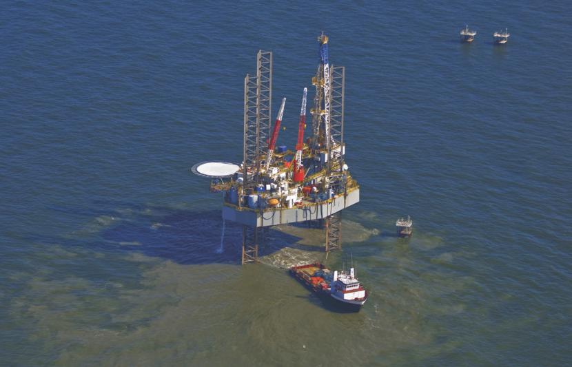
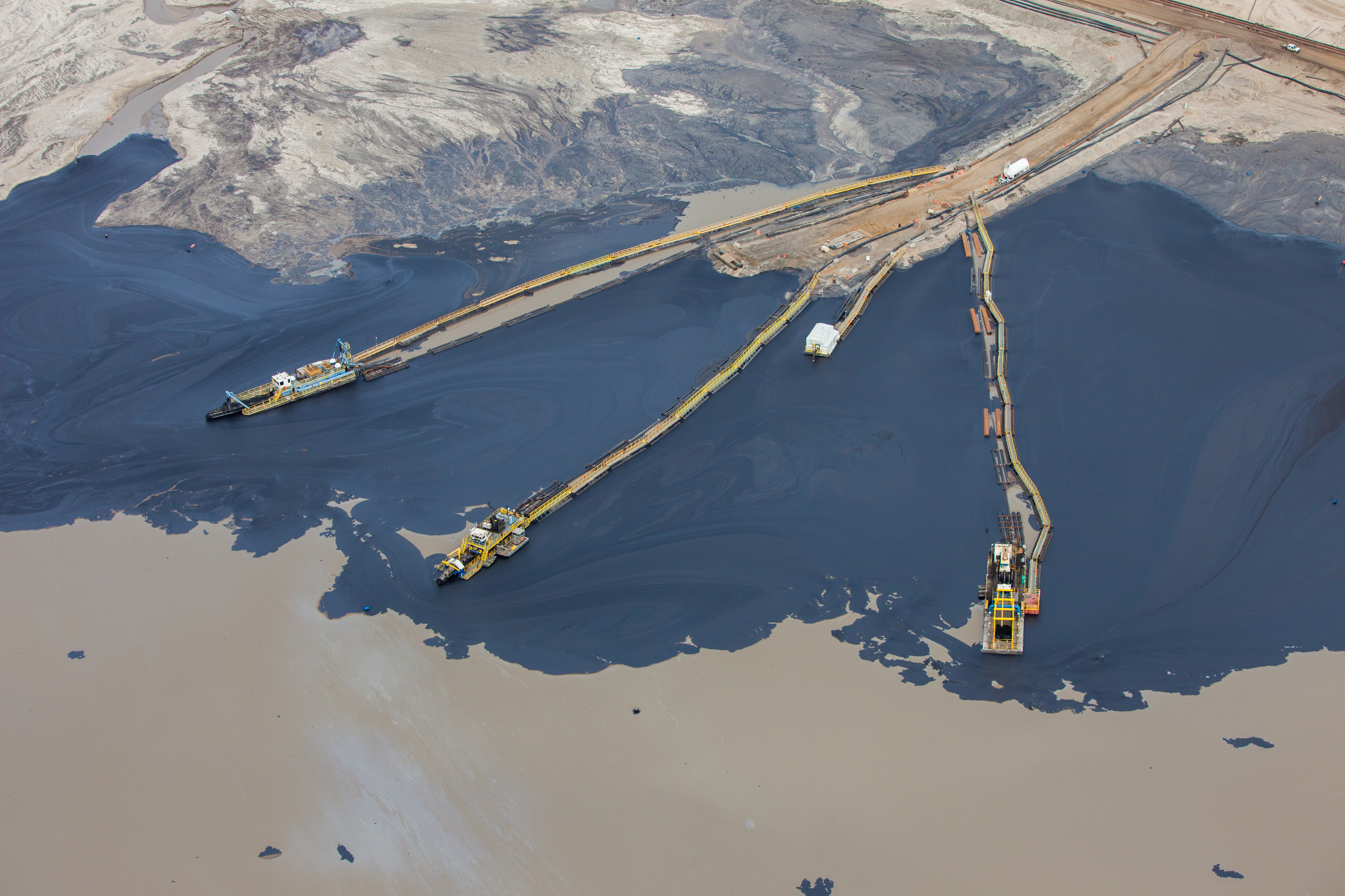
At Tetra Tech, we understand the critical importance of effective oil spill response and management. That's why we have developed OILMAP, a cutting-edge software solution designed to assist oil spill responders, environmental agencies, and industry professionals in accurately modeling, simulating, and mitigating the impact of oil spills on marine and coastal environments.

Trajectory & fates

Far-field model for surface and subsurface releases that predicts the 3D trajectory and fate of oil for instantaneous or continuous release spills.

Stochastic

Used for risk assessment and contingency planning. Helps determine most likely spill paths and minimum time on monthly, seasonal, or annual basis

Software support log-in

Please click on the button below to access: your software user account information; application updates; and support documentation.

Brochures and Materials

Contact Us